Day 36 - Friday June 23/17
A day of touring from our base at Golden Municipal Campground to Rogers Pass. (see map)
How can we describe the scenery we experienced today? Fabulous, marvellous, awesome, awe-inspiring!! One runs out of words. In so many ways, we felt both diminished and puny, and yet uplifted and glorious, all at the same time! Through the trickery of distance, scale and perspective, the mountains feel on the one hand so close that you could almost reach out and touch them, and yet on the other hand, when you stop to mentally position yourself on a mountain-side, they are absolutely immense - almost ponderous in their gigantic splendour. WOW was a word that often escaped our lips.
We started the day with breakfast ‘al fresco’ at our campsite with a fabulous view of the Kicking Horse River (photos)
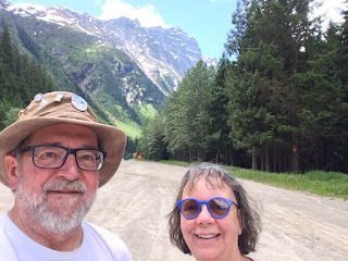
Having prepared a picnic lunch of tuna wraps, girded up our loins, and donned our hiking boots, we headed off to the Rogers Pass, about 90km from Golden,BC. On the way north, the Rockies were on our right, and the Purcell range on our left. Little did we know the wonders that would unfold for us as we travelled along the Columbia River wetlands, transversed the Columbia River, and travelled into the Selkirk Range. (photo)
In part, our route north, before we turned west toward the Rogers Pass, followed the course of the Columbia River, also flowing north until it turns a ‘Big Bend’ and heads south through BC and Washington State into the Pacific in Oregon. We discovered that the original road from Golden to Revelstoke followed the course of the river around its ‘big bend’, a 5 hour drive on a gravel highway that has since disappeared under lakes created through river damming. (photo)
Glacier National park in the Selkirk Range was fabulous! We toured the National Parks’ Welcome Centre, watched a movie about avalanche control, and then went for a couple of short hikes. The drive through the Park was replete with many, many, many, many mountain vistas!!! (photos of a few)


Our first hike was the Loop Creek Trail, which follows a part of the old railway line that transversed the valleys in a figure-8 loop to decrease the gradient, originally on wooden trestles which were replace by steel spans on rock-block pillars. (photos)


 |
| An avalanche path |
 |
| Avalanche path |
 |
| Snow from the avalanche!!!! |
 |
| Loop Creek |
 |
| The intrepid voyageur/hiker wonders, "Can I do it????" |
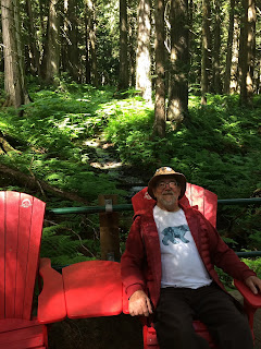
Our second hike was on a boardwalk through an old-growth hemlock and cedar forest - the only inland old-growth forest of its kind in the world. (photos)


As we travelled west, we changed time-zones from Mountain Time to Pacific Time, and gained an hour - only to lose that hour again on the way back to Golden!
The drive back to Golden in the afternoon provided many mare fabulous vistas! (a few photos)


Arriving back at our campsite, we prepared and enjoyed a feast of curried chicken stir-fry with rice.


No ... not too many pictures of mountains. Lovin' 'em! Breathtaking!!!!
ReplyDeleteGood! I'm sure there will be more! Thanks for following along!
ReplyDelete